IMPACT 2015 - 2016: STORM Project Resources
Professor Alan Czarnetzki Email: Alan.Czarnetzki@uni.edu
STORM Project STORM's Level 1 Classroom Activities: Activities Images
STORM Forecasting Exercise STORM's Level 2 Classroom Activities: Activities Images
Resources for Surface Weather Observations
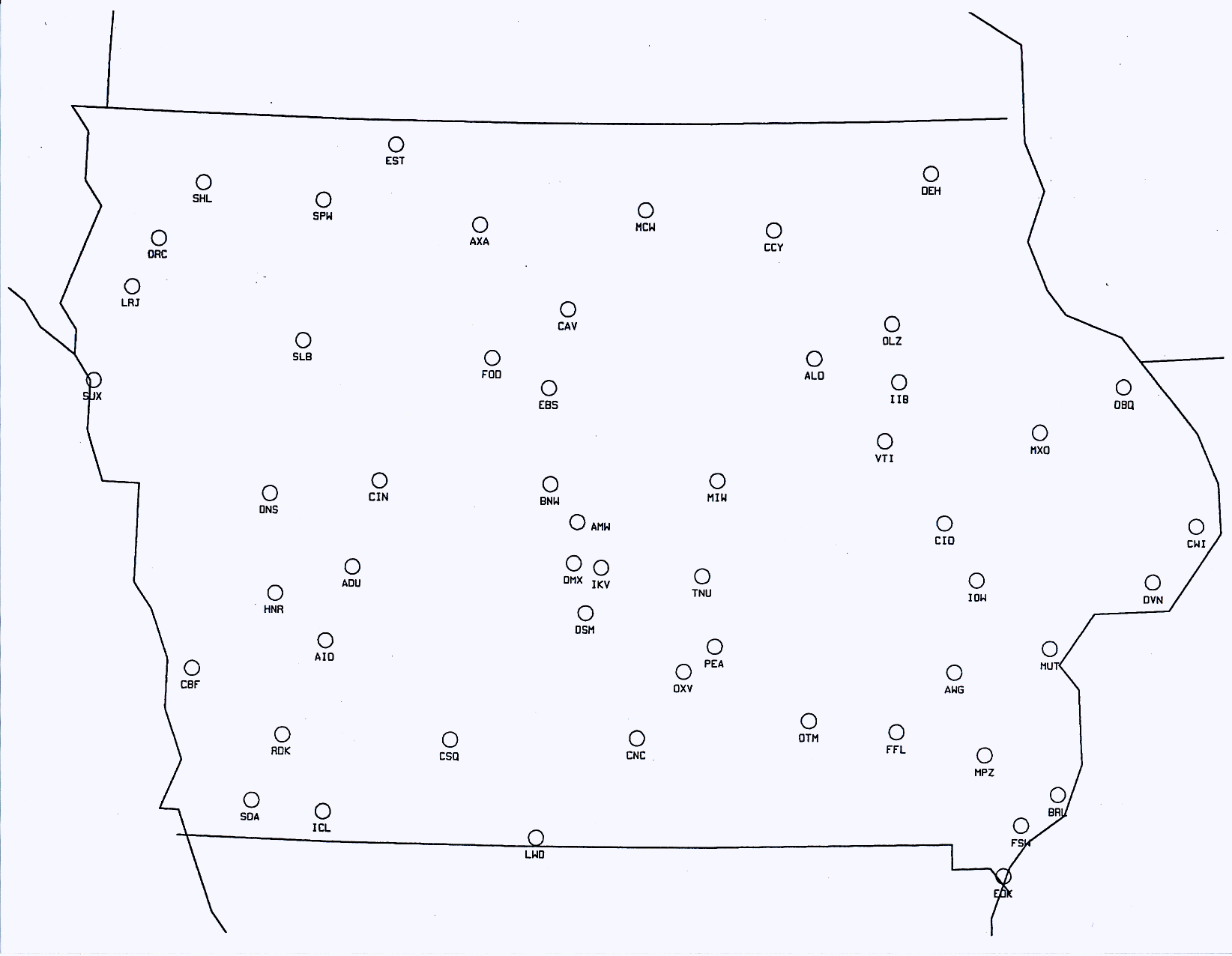
Time UTC Time Conversion Table Station Identifiers ASOS Maps by State ASOS sites ASOS map
Basic Weather Map Symbols Symbols - version 2 Complete Weather Symbol Chart Iowa Surface Weather Plotting Map
Satellite and Radar Images Surface Plots Make Your Own Archived Data Interactive
Contouring Exercise
------------------------------------------------------------------------------------------------------------------------------
Forecasting Exercise Forecast Submission Form
Climatology: Waterloo, Mason City, Des Moines,
Ottumwa Kansas City (MO)
Moline
(IL), Cedar Rapids, Dubuque, Burlington Sioux City, Sioux Falls (SD)
La Crosse (WI), Rochester (MN)
Climate
Data for the U.S. NCDC 1981-2010 Climate Normals
Persistence: Hourly Reports for Waterloo Hourly Reports for Iowa in table format; from within the map, click on station of interest Other States
Hourly
Reports for
University of Wyoming has detailed hourly reports in UTC Maps of 'Overnight Lows' and 'Daytime Highs'
Cooperative Stations gives you access to daily local reports
NAM (North American Mesoscale
model): Waterloo
Others: Mason
City Des
Moines Ottumwa Cedar
Rapids Dubuque Sioux
City Burlington
Moline
(IL) Madison
(WI) Kansas
City (MO) Milwaukee
(WI) Sioux
Falls (SD)
La
Crosse (WI) Rochester
(MN) St.
Louis (MO) Columbia
(MO) Quincy
(IL)
GFS
(Global Forecast
System): Waterloo
Others: Mason
City Des
Moines Ottumwa Cedar
Rapids Dubuque Sioux
City Burlington
Moline
(IL) Madison
(WI) Kansas
City (MO) Milwaukee
(WI) Sioux
Falls (SD)
La
Crosse (WI) Rochester
(MN) St.
Louis (MO) Columbia
(MO) Quincy
(IL)
Hourly Weather Forecast Graph from the National Weather Service: Waterloo
Forecast Surface Weather Maps NWS Weather Prediction Center
------------------------------------------------------------------------------------------------------------------------------
National Weather Service Forecasts:
Des Moines Office of the National Weather Service Davenport Office of the National Weather Service
La Crosse Office of the National Weather
Service National Weather Service
Forecasting with Conceptual Models:
Note: The wind direction change options are Steady, Backing, or Veering. When the wind direction changes in a
clockwise sense over time, we say it's veering (e.g., when a south wind becomes southwest over time).
When the wind direction changes in a counterclockwise sense over time, we say it's backing (e.g., when a south wind
becomes southeast over time)
Weather on Your Birthday:
Make Your Own Surface
Weather Maps Surface
Analysis Archive
Local Climatological Data Unedited LCDs Iowa Weather History
Web Cams in Iowa - great way to practice identifying cloud types and cloud cover!
To get to archived images: Go to Iowa Environmental Mesonet
1) select Archive, then 2) select Time Machine, then 3) use the Product drop-down menu to select a camera
See also KCRG web cams
Resources to use with your Season Demonstration Globe: Day and Night Across the Earth Time of Sunrise and Sunset NOAA Solar Calculator
National Weather Association Sol Hirsch Education Fund Grants
NCDC State
of the Climate Global
Weather and Climate Extremes Local Climatological Data
Climate Data Access
Climate Prediction Center Current
Monthly/Season Outlook Drought
Index US
Seasonal Drought Outlook